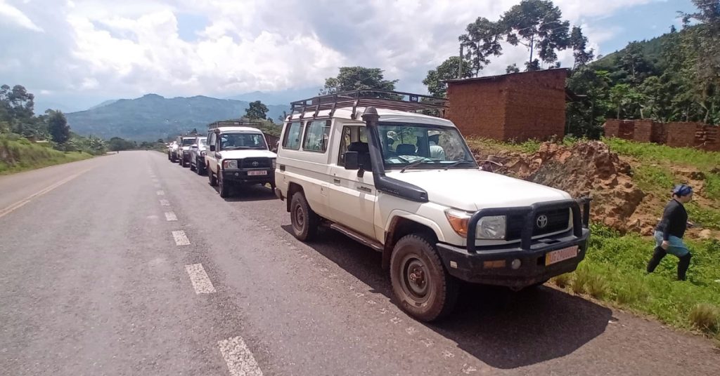
Geological Mapping in Uganda, May 2026
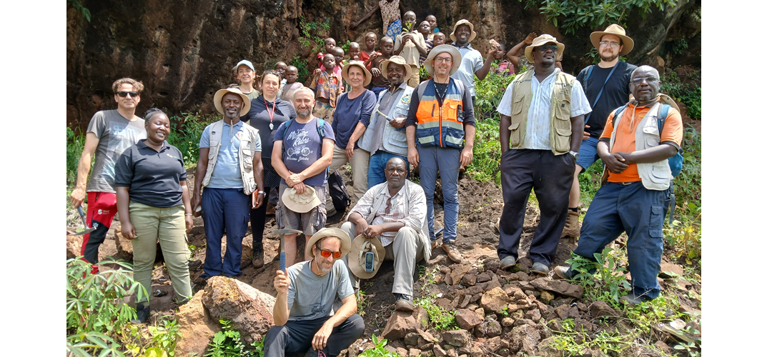
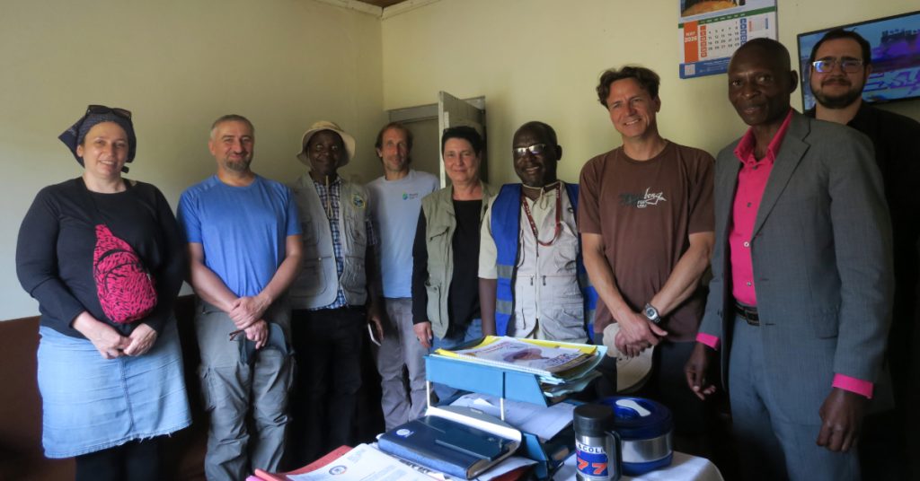
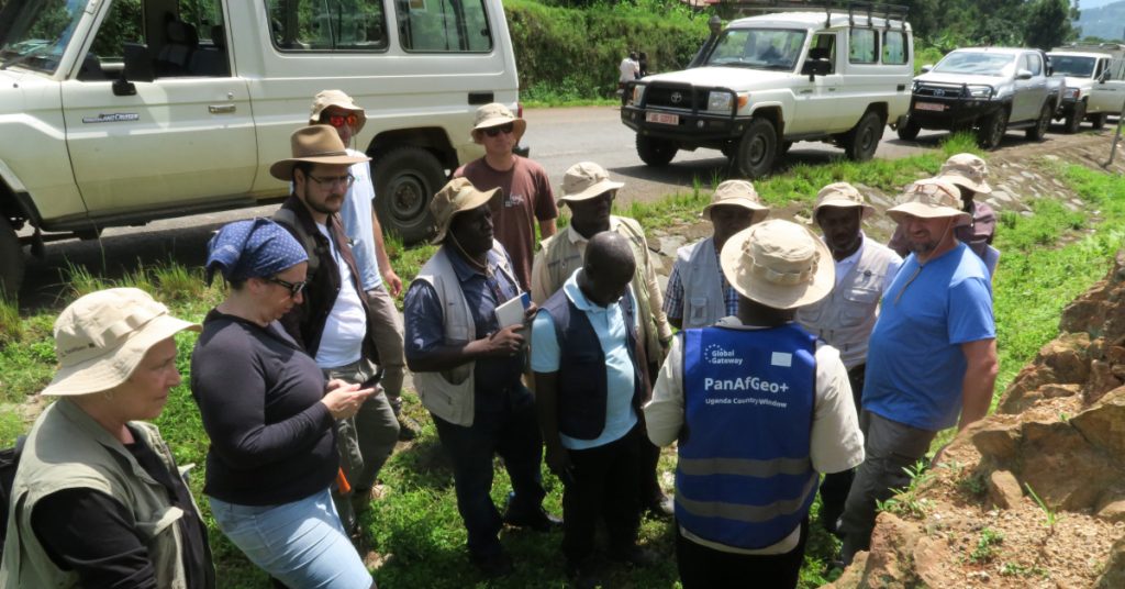
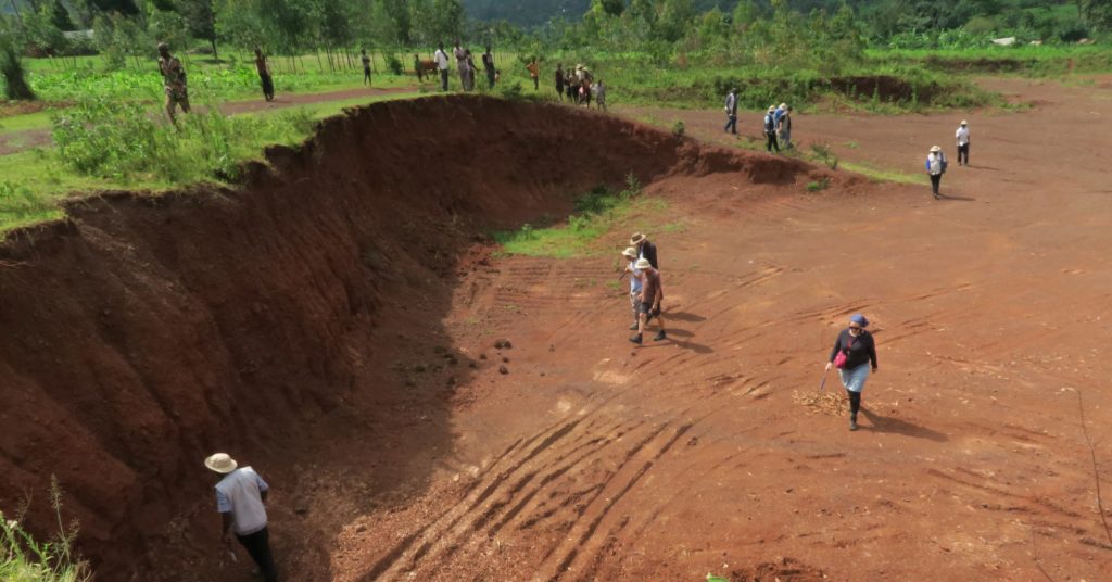
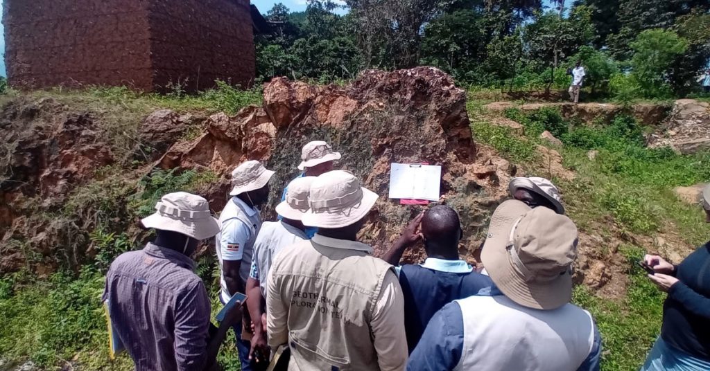
In eastern Uganda, within the Bukusu–Bududa carbonatite complex, researchers conducted detailed field surveys as part of the international PanAfGeo+ program. GeoZS is also participating in the project as a key partner. Project activities were carried out by five geological mapping teams, one geochemical team, and a team responsible for engaging with local communities. The main objective of this systematic lithological and structural mapping is to produce a digitized geological map at a scale of 1 : 25,000, which will integrate structural data and geological interpretation and support the assessment of mineral resources while ensuring minimal environmental impact. This partnership between GeoZS, the Czech Geological Survey (CGS), the Geological Institute of Portugal (LNEG), and the Ugandan Ministry of Energy and Mineral Development (MEMD-GSD) significantly contributes to a deeper understanding of the area’s geological structure, the sustainable management of natural resources, and the strengthening of local geoscientific capacities in Africa.