Knowing and understanding the geology beneath our feet is the key to making the right decisions in spatial planning. At GeoZS we have created a 3D geological computer model of north-eastern Slovenia, in particular of the sedimentary layers of the Pannonian Basin, which is regularly updated as part of various projects. The layers have been developed to a maximum depth of around 6,000 metres and represent important reservoirs for thermal and drinking water, oil and gas. There are ten layers in total, which have been grouped into four layers at a scale of 1 : 200,000 for 3D printing according to thickness, lithostratigraphy and geopotential, namely:
1. the combined Murska Formation (deltaic plain and foothill sediments), the Ptuj-Graj Formation and Quaternary alluvial aquifers;
The sediments of the Murska Formation delta plain are the most important regional and cross-border geothermal aquifer in Slovenia, which is used for heating and balneological purposes. They lie at the bottom of the first layer, with the area where the reservoir temperature is above 40 °C marked in red. The higher layers are coloured blue. Alluvial aquifers from the Quaternary cannot be broken down at the scale used, but they should not be forgotten as they are an important source of drinking water.
2. the Lendava Formation (combined turbidite and slope sediments) with local deposits of gas, oil and thermal water (black layer in the printed model);
3. the Halo and Špiljska formations with local sources of drinking, mineral and thermal water, gas and oil (without significant geopotential) (brown layer in the printed model) and
4. a pre-Neogene basement of mainly metamorphic rocks with local geopotentials (white layer in the printed model).
Authors:
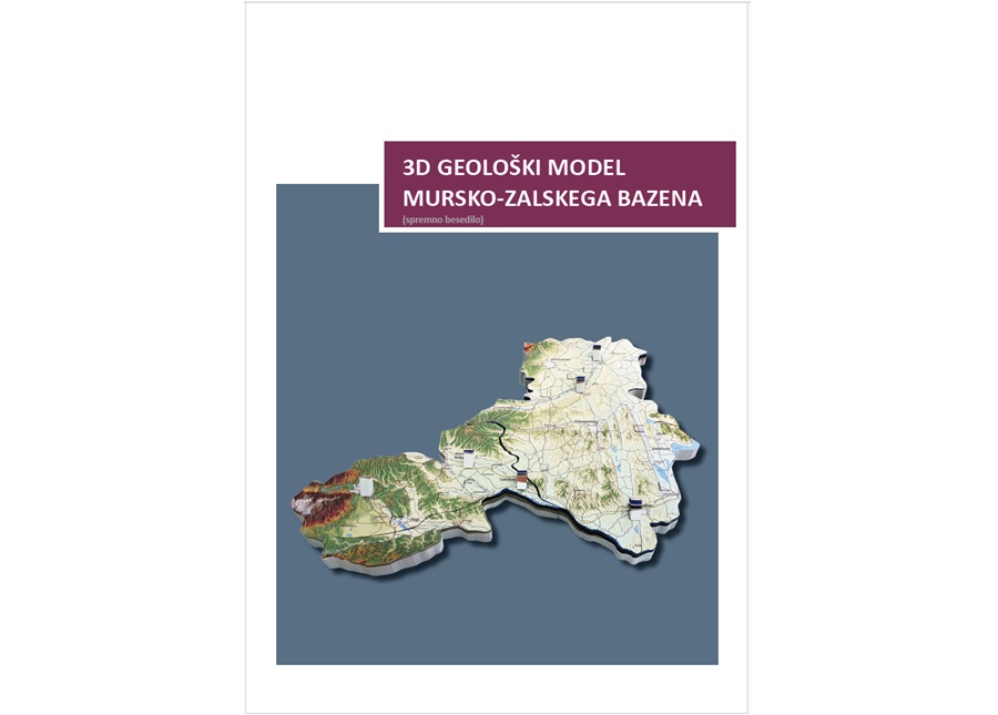
Dejan Šram, Nina Rman, Andrej Lapanje, Igor Rižnar
Year of publication: 2020